What is the best way to help direct data collectors to a destination?

What is the problem? Please be detailed.
Sometimes data collectors need to go to specific locations to conduct a survey. This could be a town or a previously-collected geo coordinate that represents a household or other granular location. Building wayfinding into the form can help reduce the time it takes for data collectors to get to the desired location and increase the accuracy of the locations they collect data from.

What you have you tried to fix the problem?
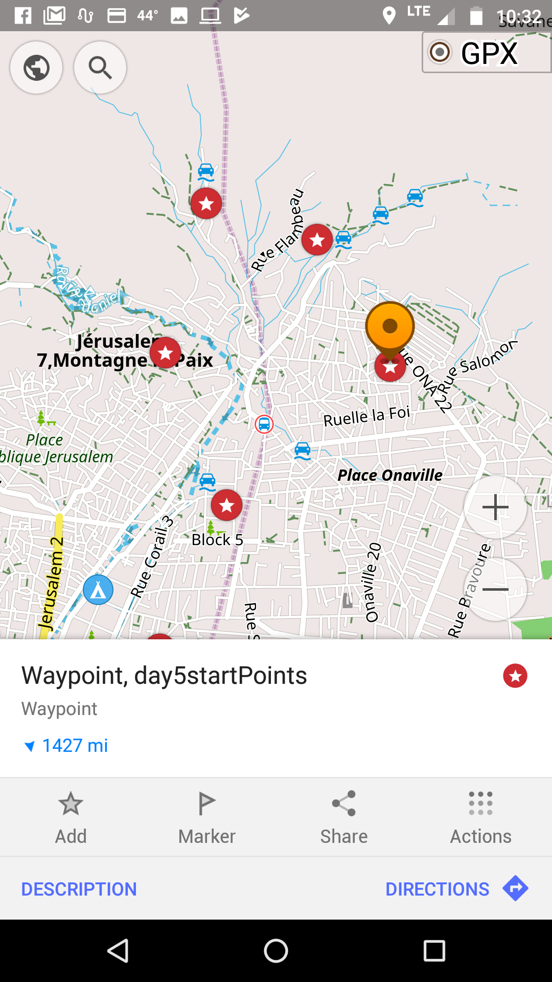
The best technique I have found so far is to use the free and open source app maps.me. Here is a sample form that lets the user pick from destinations to visit and helps them navigate. If you'd like to try it, I recommend adding a destination not too far from where you are located because maps.me doesn't do so well providing directions between continents!! :blush:

@Nicholai_Lidow, you mentioned in your introduction that you also use maps.me for wayfinding. You mentioned using KML files for the destinations enumerators need to visit. Would you be willing to share a short sample form?

Does anyone else have another strategies they like to use for wayfinding?

9 Likes

@LN excellent timing, I was just about to post a similar question!

We have been using Locus Free with a number of benefits: offline maps; navigation between custom points of interest (which you can upload via csv etc.); free (!); compass and GPS satellite locator (to check whether you are able to get GPS lock).

A couple of features that are missing that I'm looking for in software that let's data collectors navigate to a point on the map:

  • systematic routing from point a > b > c > x (i.e. I have a list of households that I want my data collector to visit and would like a suggested route between each location, in a logical order
  • ability to link point of interest location to each ODK instance (as you say above, building it into the form would be ideal).
  • ability to filter list of points of interest by a variable i.e. interviewer name -> so that from a master list of points of interest, only points (household) that have been assigned to an individual are displayed
  • use satellite base maps - as often OSM doesn't have required detail to identify say individual building/compound etc..

Looking forward to trying our your form above - and would image easy enough to adapt to my last bullet point above. Will report back...

3 Likes

We've used OsmAnd which has a wide range of functionalities including offline maps, navigation, and the ability to display gpx files.

3 Likes

Thanks Hélène for the sample form -- this is very helpful! I had no idea that ODK could link to an external app.

I use Maps.Me to display the boundaries of the assigned Enumeration Area (EA).
For example, here is a screenshot of an EA in Kinshasa, DRC, for an upcoming survey.

The enumerators open Maps.Me in the morning, click on their assigned EA, and then use the GPS on their smartphone to reach the EA and ensure that the selected households are within the boundaries. During the QA process, I use R to compare the geotags in the survey forms to the boundaries of the EA, to verify that the enumerators selected households in the correct location.

But there is one challenge: Maps.Me can display points and paths in KML format, but it won't display a polygon....
Fortunately, there's a workaround where you can "trick" Maps.Me into thinking a polygon is actually a path.

Your polygon KML file will look something like this:

<Polygon>
  <outerBoundaryIs>
    <LinearRing>
      <coordinates>
        -122.0,37.0

...
-122.0,37.0


You can change the outer-most tags by renaming LinearRing -> LineString, then removing Polygon and outerBoundaryIs elements, so that it looks like this:

<LineString>
      <coordinates>
        -122.0,37.0

...
-122.0,37.0

If you load this modified KML file into Maps.Me, it will display your polygon.

Generally I use R to automate the process of (a) sampling EAs from a shapefile; (b) converting each feature of the shapefile into KML; and (c) editing the KML files so that the polygons become paths.

Next step is to play around with Hélène's form and see if I can make it easier for the enumerators to look up their assigned EA from within the survey form!

Let me know if this isn't clear or if you're interested in more details. Happy to help.

Best,
Nicholai

3 Likes

we used the Google Earth mobile application integrated in the tablet (constructed with ESRI 2011. ArcGIS Desktop: Release 09. Redlands, CA: Environmental Systems Research Institute).

2 Likes

Thanks for these great responses, @Chuzzlewit69, @danbjoseph, @Nicholai_Lidow, @aurdipas! You're giving me lots of new ideas to chew on and software to explore. Hopefully others will find these resources helpful as well.

Some of the apps you've mentioned can also be launched with Collect in a similar way shown in my sample form:

It looks like Google maps can do navigation between several different points but of course offline capabilities aren't as good as with some of the other tools. @danbjoseph does @OsmAnd do navigation between several different points?

@Nicholai_Lidow There will be a distance function available soon in Collect that may allow you to do some of your proximity verification possible through the form. You can track that progress at https://github.com/opendatakit/javarosa/issues/277.

@aurdipas is the Google Earth app you used https://play.google.com/store/apps/details?id=com.google.earth&hl=en ?

1 Like

yes @LN but the play store one :slight_smile: https://play.google.com/store/apps/details?id=com.google.earth&hl=it

1 Like

Do you mean a multi-destination route (i.e. to point A, then upon reaching A to point B, and so on)? I have never tried.

Hi @LN,

If I'm using the same sample form you shared here and wanted to use google maps instead of mapsMe, could you please tell me what to change in the appearance field?

I tried

ex:google.navigation:q=number(${chosen_hh_gps_lat}),number(${chosen_hh_gps_long})

but it is not working.

Thank you,

1 Like

Hi @Chuzzlewit69,

Could you please tell me what to insert in the (Appearance) column to open the Locus Free Application in my Android phone?

Thank you,