This feature will soon be available (using lines and polygon in select_one's map appearance)
You can right now test it in you form using the centroïd of your quadrants. And imagine what it will be when replacing the point definition in the polygon one.
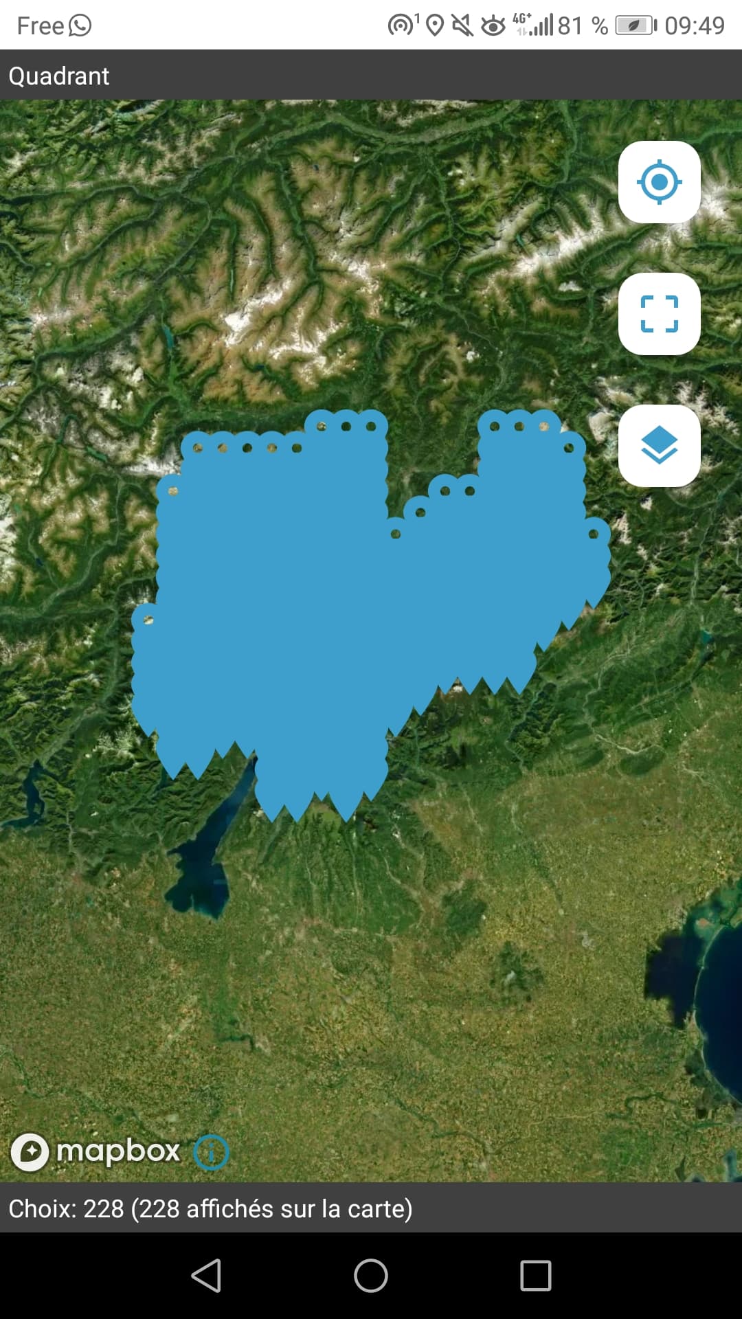
Here I used the choices sheet and added a geometry column to put the point definition in ODK's standard. And set choice_filter to true() in order to show all the points on the map.
You can use external csv or geojson instead.
FORM_CFTCFV_ver.xlsx (132,6 Ko)