Here's a quick preview of the example: (ping @LN)
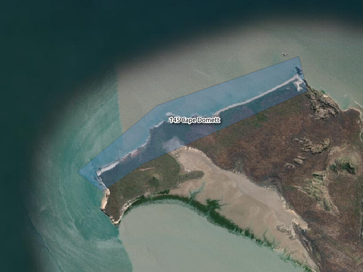
The study area my enumerators want to select is shown as a transparent, light blue polygon with a 1px border over the aerial imagery. The study area is labelled with its name, which means something to my enumerators (here: Cape Domett in the Kimberley region of Western Australia) and the primary key (145) from the database it's from (purely for my own convenience).