Thanks for reporting the issue. I can confirm that there is something wrong there. I've reported the issue in our repository https://github.com/getodk/collect/issues/5236 and will try to fix it.
I just noticed something else in 2022.3.0 with mapbox base layer that is different to the previous release. I forgot to check this in the beta, but confirmed it's there too.
Previously, I could zoom in to a frankly ridiculous level, and it pixellated but it didn't stop you from doing so (I don't have any vector tilesets but assume these would render nicely). Now there is a hard stop shortly after the last zoom level in the tileset appears. The other base layers also all had this, but at lower zoom levels, which is why I only used mapbox.
For comparison:
Measuring a 10m scale bar on the device screen at maximum zoom on a 10" tablet,
Google: 34mm (zoom level 20?)
OSM/USGS/Stamen/Carto: 68mm (zoom level 21?)
Mapbox: 136mm (zoom level 22?)
On a 5" handset with 2022.3Beta2 it measures 122mm, basically the same as current release, but on a 12" tablet with 2022.2.3 it measures 1550mm (extrapolating from 1m at 155mm)
It is definitely getting into false precision, but the extra zoom did allow for some very nice drawing markups at the sub metre level.
We did upgrade Mapbox to the newest version in this release, so it could be that zoom limitations have changed without us realizing. We'll need to investigate and see if there's anything we can do to restore the previous behaviour, and potentially even make that kind of zooming possible in OSM/Google Maps.
@ahblake after looking into it, it seems that the new Mapbox SDK has indeed changed the max zoom level from 25 to 22. I've filed an issue about this with them here.
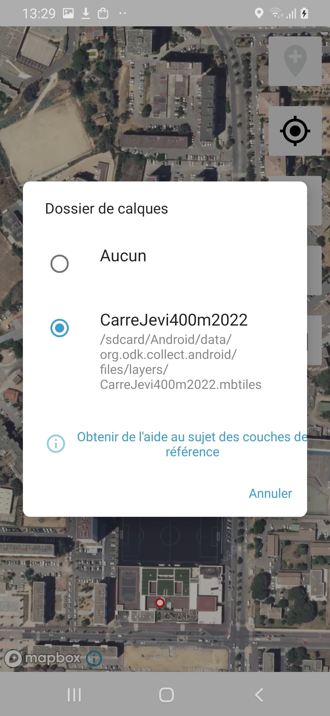
A scale bar present on one of my tilesets at max zoom is 7m edge to edge on the width of a 5" handset. (And creating a geopoint with this tileset drew it under the tiles so i couldn't see it until setting no tileset. No amount of exiting and reopening the map widget / changing tilesets would draw it on top of the tile)
Osm/usgs/carto was ~13m and Google 25m (couldn't rotate map to be more accurate)
I don't have b7 yet to try.
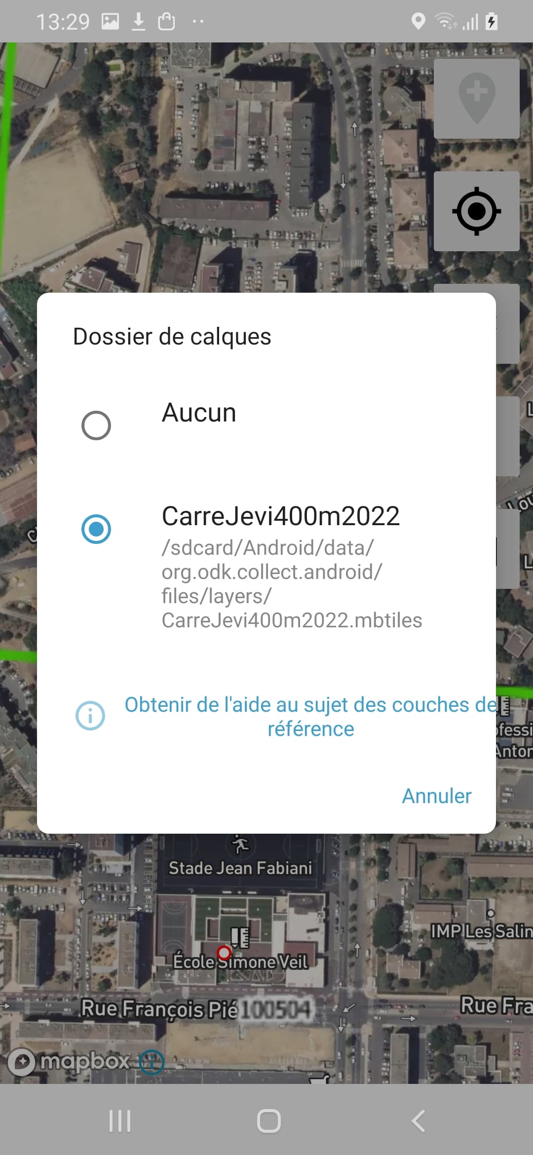
Edit: b7 just landed. Max zoom is the same, 7m. But the point is drawn on top of the tileset.