1. What is the problem? Be very detailed.
I am evaluating whether Collect can support a particular workflow for collecting offline geopoints. The goal is to use an offline raster basemap generated from private satellite imagery and to have surveyors manually place geopoints with gps assistance. It seems that a geopoint question with appearance="placement-map" might serve this purpose. After reading documentation https://docs.opendatakit.org/collect-offline-maps, trying it on multiple versions of Collect, and searching the forum, I am still confused about what I can expect to work.
From the current ODK docs, it sounds as though basemaps are always online. However, Adding Mapbox vector tile basemaps suggests that vector-based basemaps are supported using Mapbox, with limitations. I am not sure whether that implies raster is supported.
I actually have been unable to get a geopoint question with appearance placement-map to work using Mapbox (online or off). When configuring the basemap source as mapbox, I see the following:
.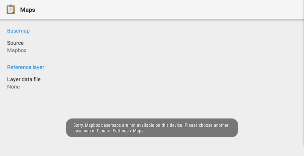
Oddly, I can still select mapbox and I am still able to select an OpenMapTiles data layer loaded into the layers directory. However, the geopoint question does not display with the map widget when I tap the button. It just shows the original geopoint widget. Alternatively, if I select the Google basemap the correct widget displays, but I can not select the data layer file.
The experience is confusing because the UI seems to treat each provider fairly uniformly yet there seems to be significant differences when using the different sources. There does not seem to be enough feedback to understand what to expect or why something is failing.
2. What app or server are you using and on what device and operating system? Include version numbers.
No server, Collect 1.23.3, Collect 1.24.1 on Android 5 (API 21) on x86_64.
3. What you have you tried to fix the problem?
I am not sure what the problem is or what I can expect to work and with what provider. It just seems broken or incomplete. The docs and forum seemed to offer different versions of whether this should be possible or not.
4. What steps can we take to reproduce the problem?
It is not necessarily a defect, but it still makes sense to give the exact steps maybe? Load a single question survey containing a geopoint question with appearance="placement-map" on an emulator using Android 5 (API 21) on x86_64. Load an mbtiles file in the layers folder containing a data layer. In map settings select mapbox for the basemap source (note the error message). Select the layer file in the layer data file section. Go to fill a blank form, select the form and tap the location button. You should see the non-map gps widget. Go back to map settings, select google (note, can't select layer file now) and again try to fill a blank form. If you're online, you will see the map widget.