Hello,
i've collected data with geopoint but in ODK Central instead of displaying Latitude, Longitude, Altitude, Accuracy in differents fields, it has displayed only one column with this value "SRID=4326;POINT (29.2877334 0.1293818 1722.7355008653062)" how can i convert this to differents fields Latitude, Longitude, Altitude, Accuracy ? because i want to analyse my data.
Need your help, thanks!
Hi
For example with qgis.
. csv you need. The coordinates are written in the well known text format (wkt).
In qGIS you can convert it in a shapefile.
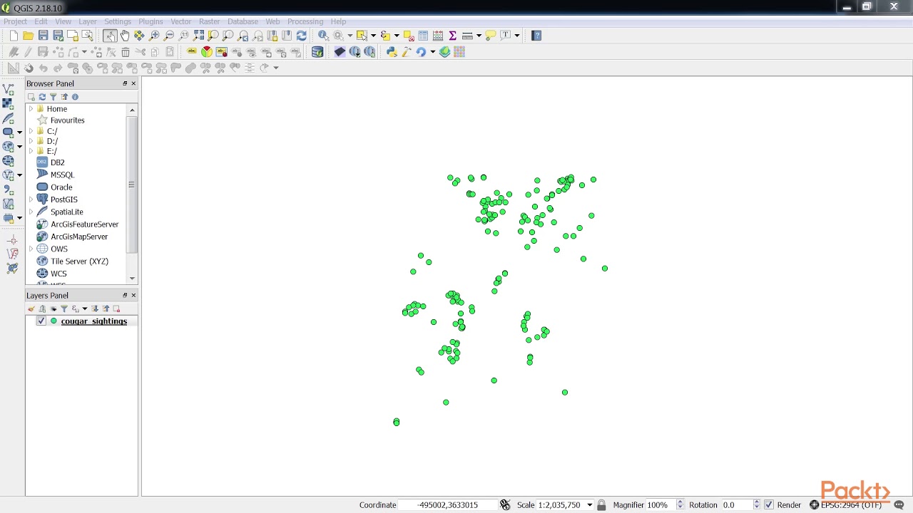
Like in this video (seems to be the qgis version 2.x,an older version. But it works in all versions)
Hi,
In first, it's depend in which format and uses you need.
In case of repetable needs, i automate on R an output shp with a CSV dowload of kobo.
For an ponctual GIS use, you can download directly in KML (option avalaible via kobo), then you convert in shapefile if you want.
Then you can find a spécifics solutions in a previous topics (already treated).
Best regards,
S.
