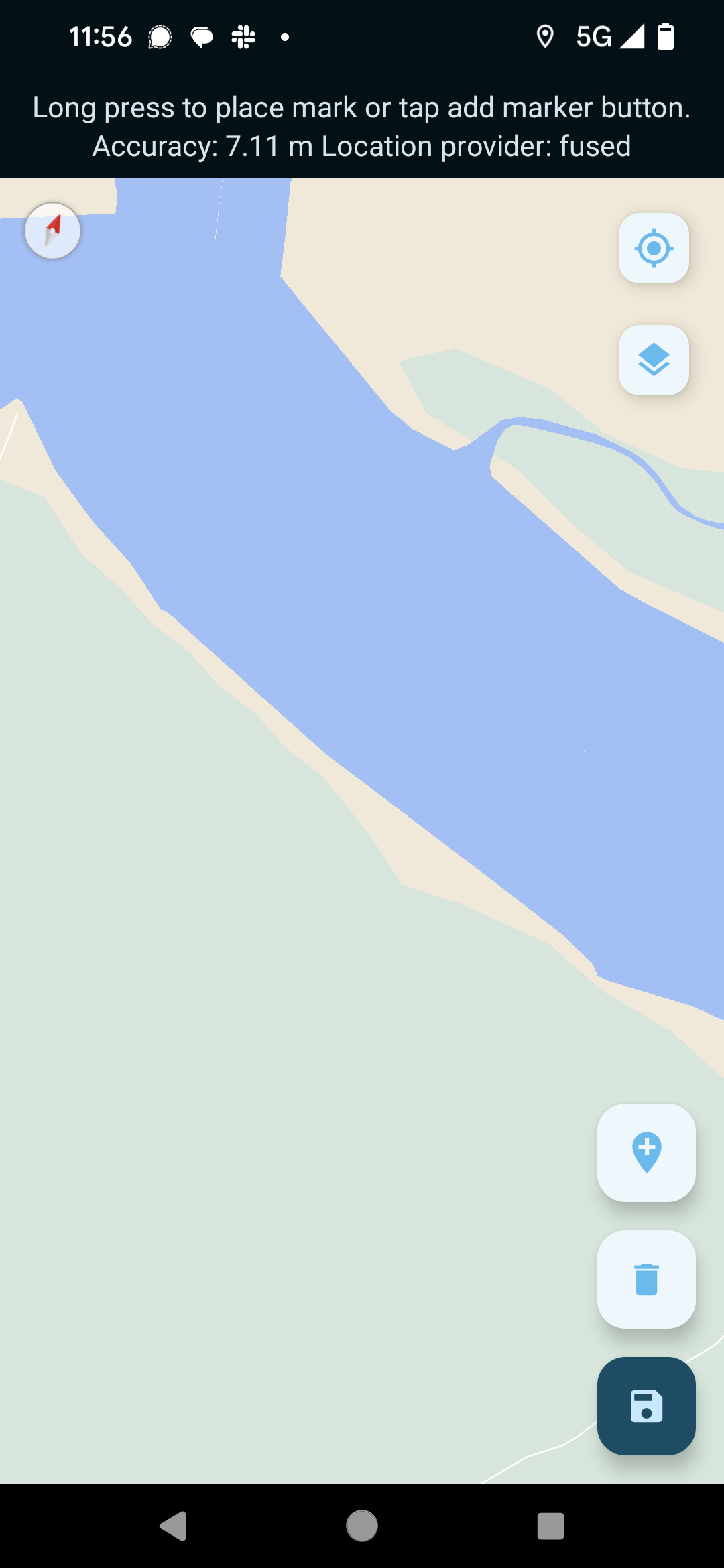
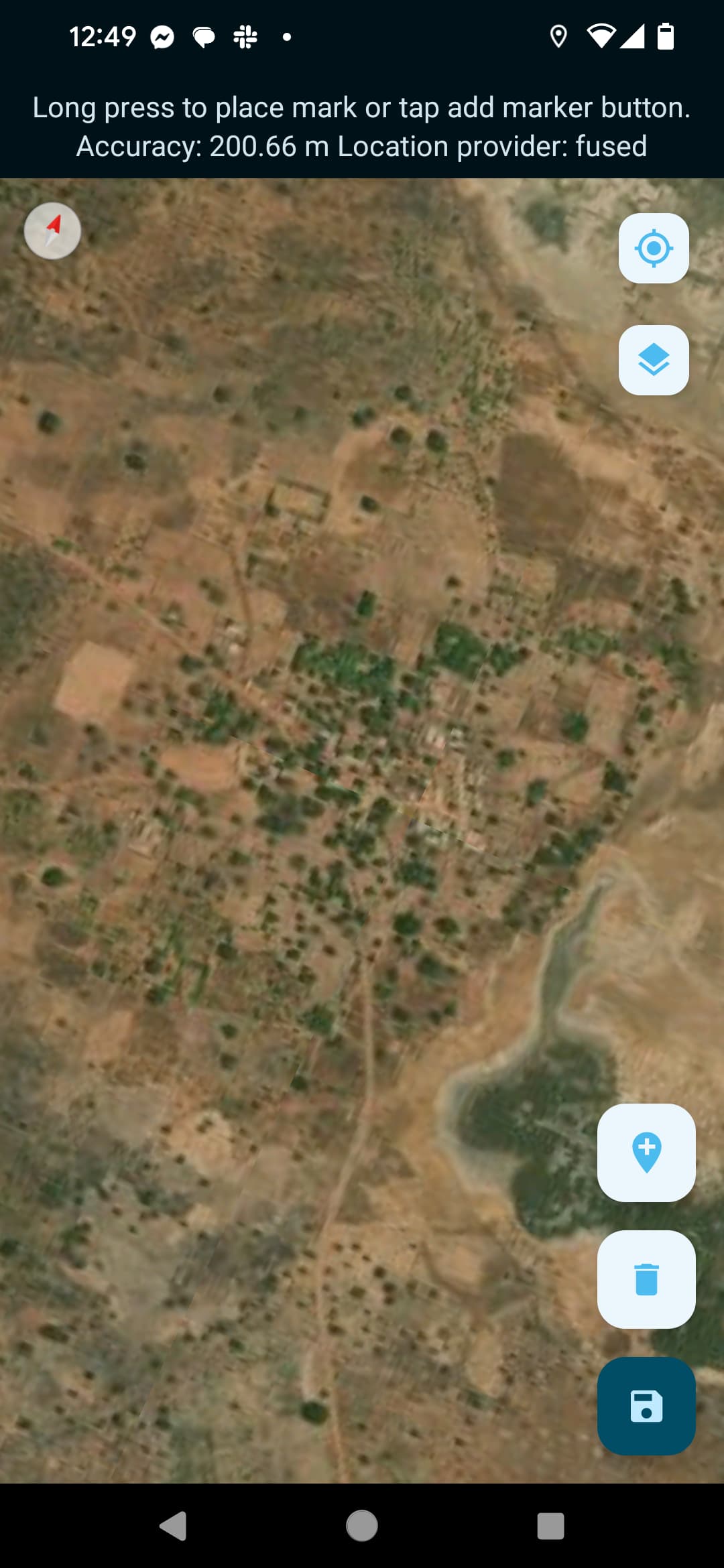
I created an mbtiles layer from satellite imagery and successfully loaded it to Collect. However, the file only contains a single zoom level of files (in this case z15). When viewed it Collect it toggle off when the user has zoomed outside of level 15.
For example...
zoomed out // zoom level 15 // zoomed in more

Is there a way to get Collect to still render the mbtiles images at higher zoom levels? That is, if I wanted the z15 tiles to still be displayed at z16 and above without having to explode the mbtiles file size by saving the tiles for those additional zoom levels into it? Have Collect "overzoom" and enlarge the z15 tiles (with accompanying pixelation)? Perhaps through something like modifying the mbtiles metadata?
Additionally, is it possible to limit the range of the map zoom level the user can use? For example, keep the use between z16 and z18?
