I am in the development phase for a new form and I can foresee a problem that might need a similar solution. So in the process of looking for the answer I found this idea overlaps with my 'requirement'.
I am working with footpaths, and we divide each path into a number of sections. Usually (but not always) the end point of one section coincides with the start point of the next... Can you see where I'm going?
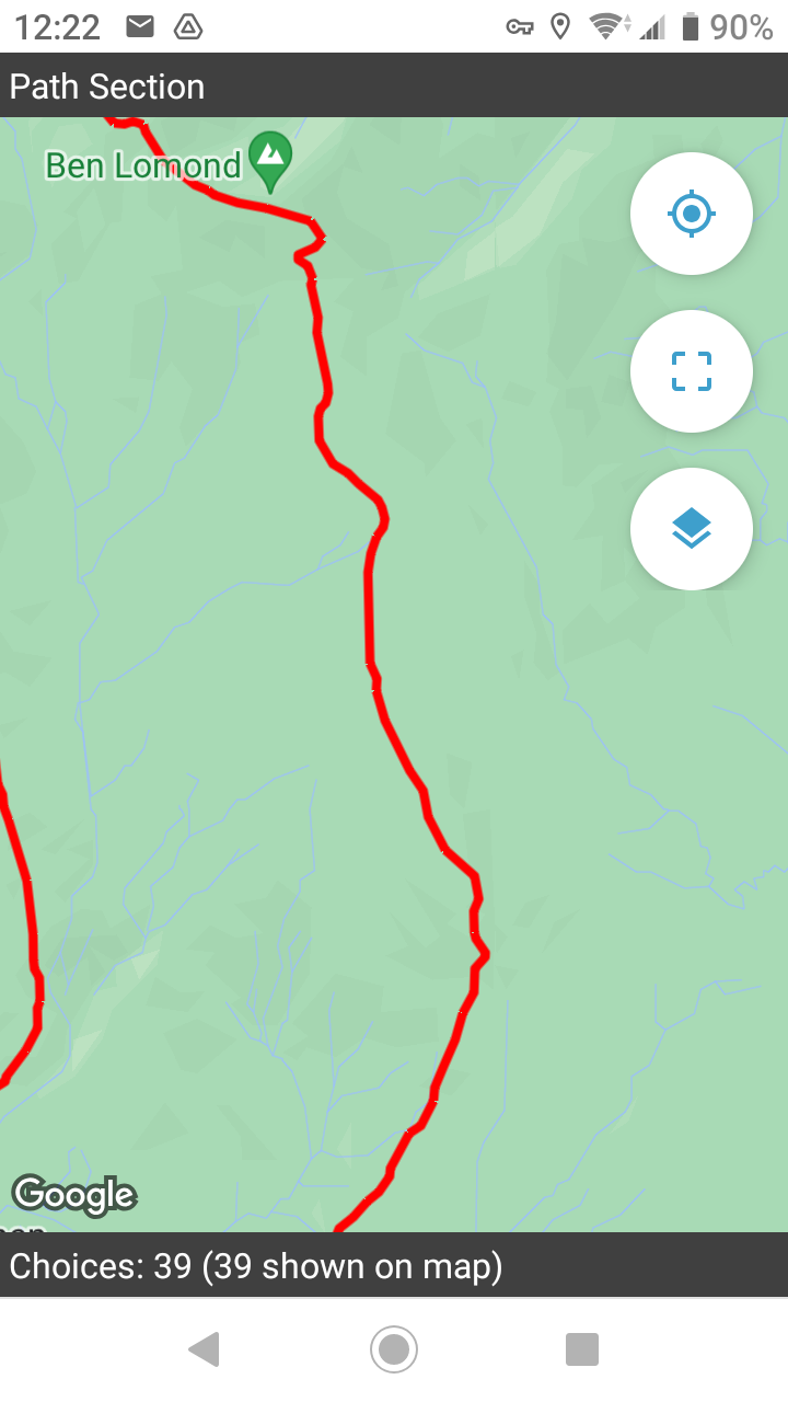
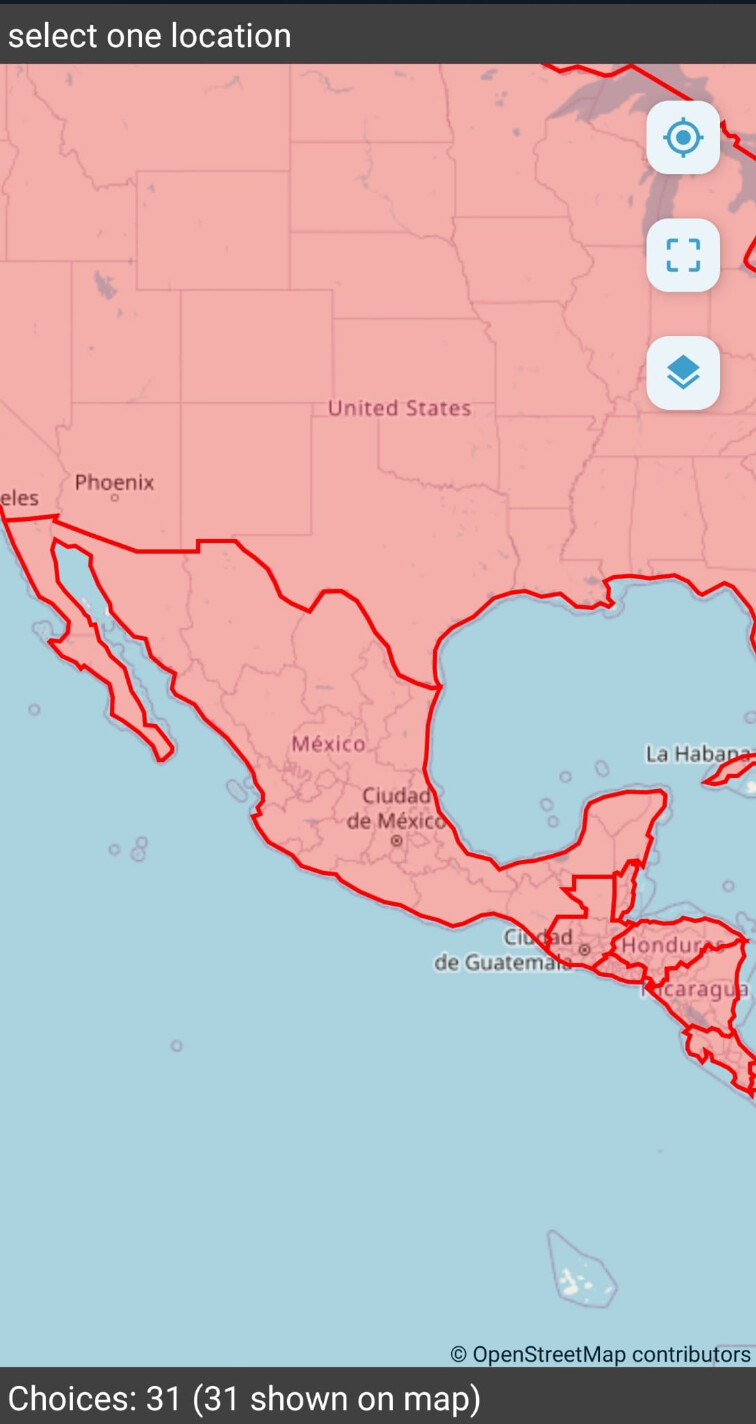
So, using entities, or external file, and wanting to be able to select the path SECTION to record its current condition (for example) leads me to using a map and wanting to select_one from a series of geotraces. But, the lines appear to be one continuous and there is no way to tell whether I'm at the right location for the start / end of a section so I need to tap on a red line and hope that it being highlighted gives me a clue (the metadata of course tells me something about the item selected, but no visual clue as to where it starts or ends)
Can you tell that the central red line is split into a number of sections? Or where each one starts?
For a user, this is a poor experience, especially if they are visiting the site for the first time and don't know where the end-points are for each section. Or someone reluctantly engaging with Collect. You never want to ask an enumerator to just keep tapping on lines until they find the right one! A recipe for errors... And even cross referencing the GPS location, there is no way to tell that the position coincides with the required point. I am toying with the idea of a file that has geopoints and geotraces if they can be rendered on the same map, but that might backfire and would dramatically increase the file size if I have to load everything twice.
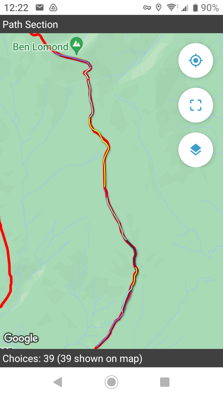
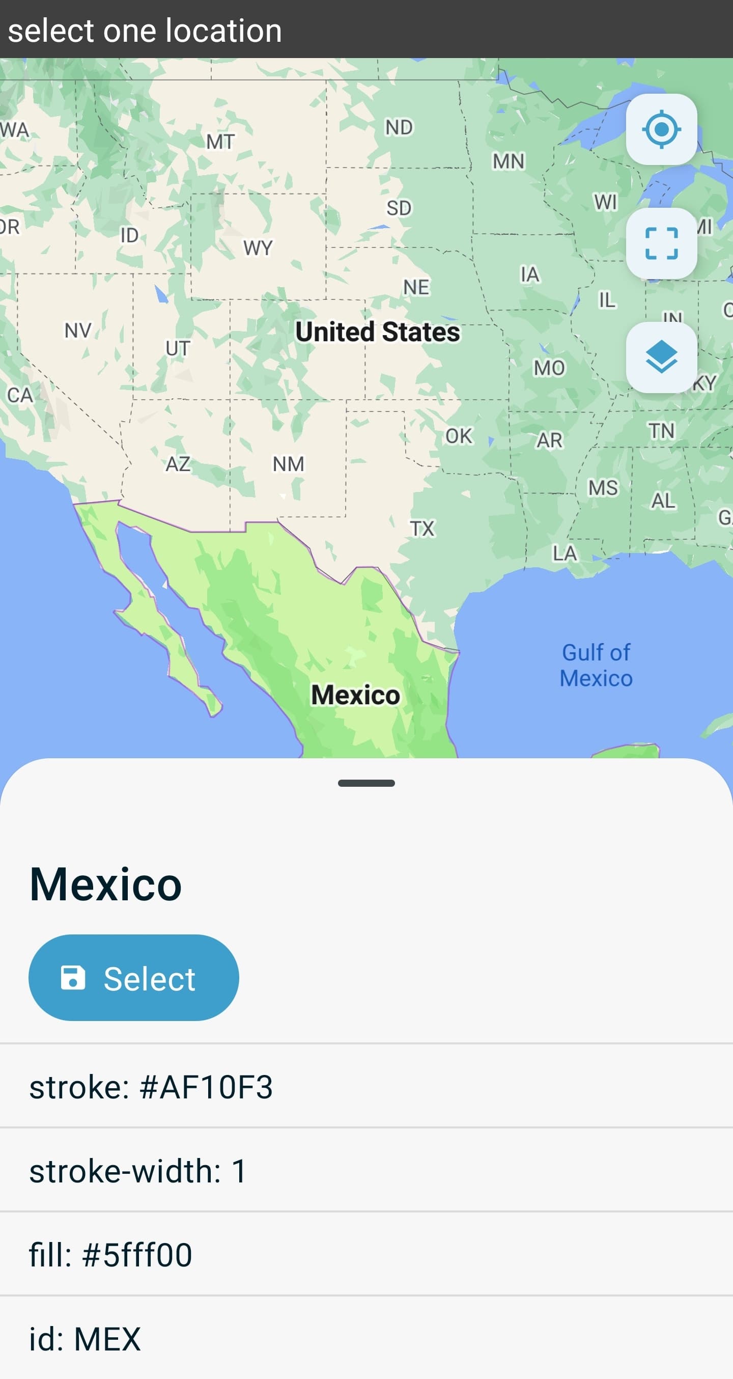
What I would like is to be able to set a colour value for each section (I may end up using a random colour ramp where I've got hundreds, rather than individually assign). I think this would be more useful to other situations than another option, which would be to mark the end points of each line. So for (a poorly executed) example:
I know there are going to be difficulties with visibility / backdrop mapping etc, so maybe the flexibility (complexity?) of the geojson simple style could help. If it MIGHT work, could a column in a CSV (or field in the Entity) be used to represent style such as
"stroke":"#12345", "stroke-width": 2
and Collect inserts that into the relevant part of the string when loading the map. He says, as if he knows what he's talking about!
Well, I'm just trying to contribute to the idea and how it might look to a form designer, rather than make a request and walk away 
I remember from the ODK Summit how introducing one extra parameter causes many more headaches, so I'm trying not to be unreasonable
I'm in danger of retreating to my default position of using mbtiles raster backdrop with the lines overlain on a mapping layer, and then using geopoints to represent start-points... And all the problems that brings with it (see other forum posts!)
Thanks